
Yığılca
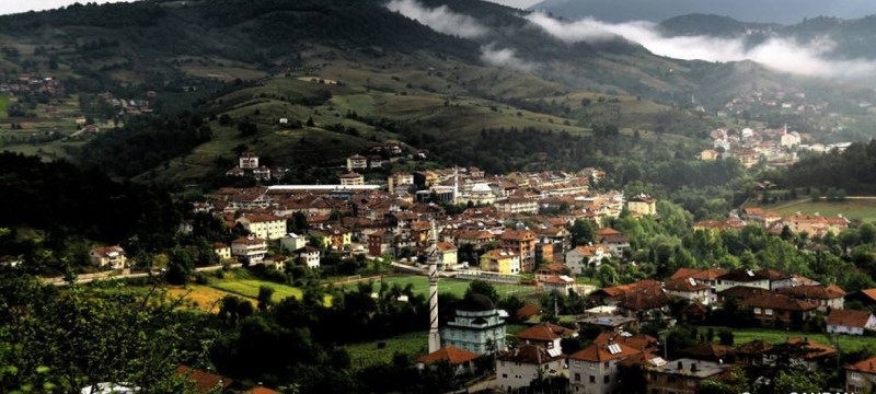
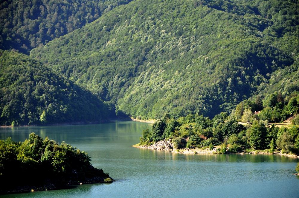
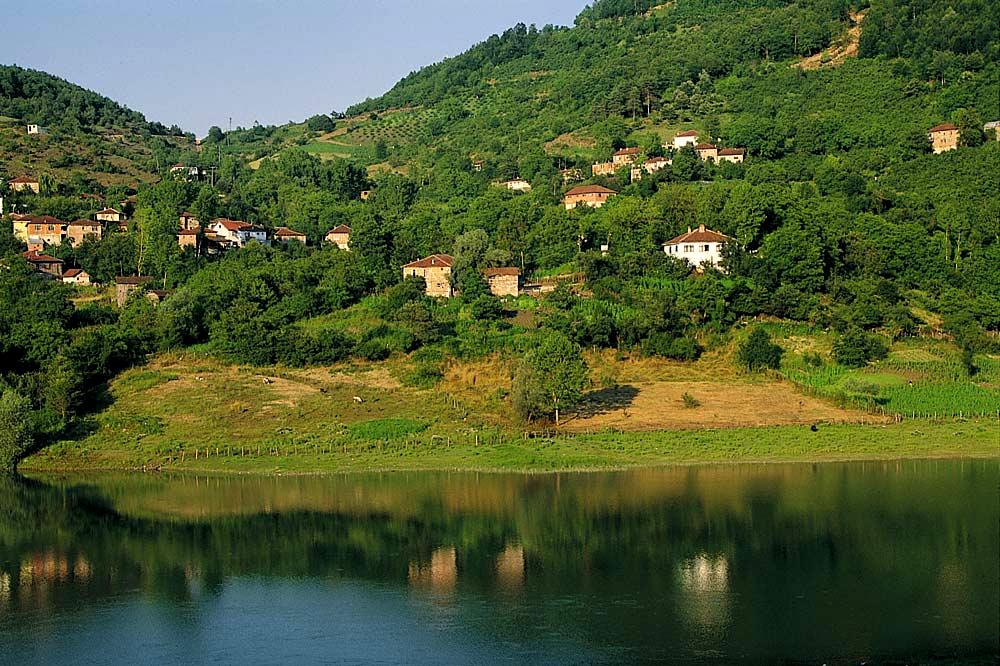
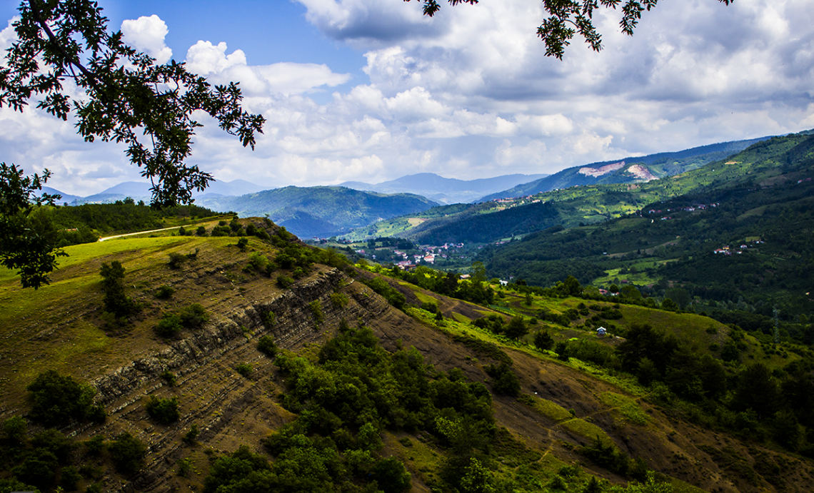
Yığılca is a district of Düzce Province. It is surrounded by Düzce province and Akçakoca district from the west, Kaynaşlı district and Bolu province from the south, Alaplı district of Zonguldak province from the north, and Mengen district of Bolu province from the east. The distance of the district to the city center is 33 km. It is 100 km from Adapazarı, 276 km from Ankara and 234 km from Istanbul, which is one of the nearest neighboring cities. Yığılca, which is a sub-district of Düzce, was turned into a district with the law numbered 6324 in 1954. The altitude of the district is 350 m above sea level, and its surface area is 640 square kilometers. The agricultural land of the district, which was established on a hilly and high slope area, is very insufficient, and generally forested land is dominant. The climate of the district is temperate, reminiscent of the Western Black Sea climate. Yığılca district is located in the upper basin of the Melendere Stream, which empties into the Hasanlar Dam Lake, which irrigates the Düzce Plain. Except for the village of Yaylatepe at the top, the other villages are lined up in a row on the slopes to the south and north of this basin. The basin, which has the appearance of a long “U” with this shape, is quite mountainous and steep. The main hills surrounding the basin are: Yaylacık Hill, Köybaşı Hill, Kızıltepe, Sarıkaya Hill, Bacaklıyayla, Aktaş Ridges, Kiriş Hill, Geymen Hill, İğnekiriş Hill and Kırıksapağı Hill. The district is very rich in terms of rivers. Melen Stream, which extends from east to west, is fed by rich streams from the north and south.