Transfers
Güneysınır
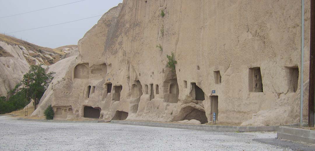
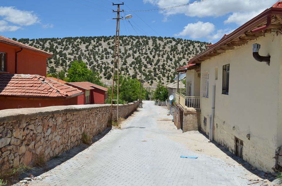
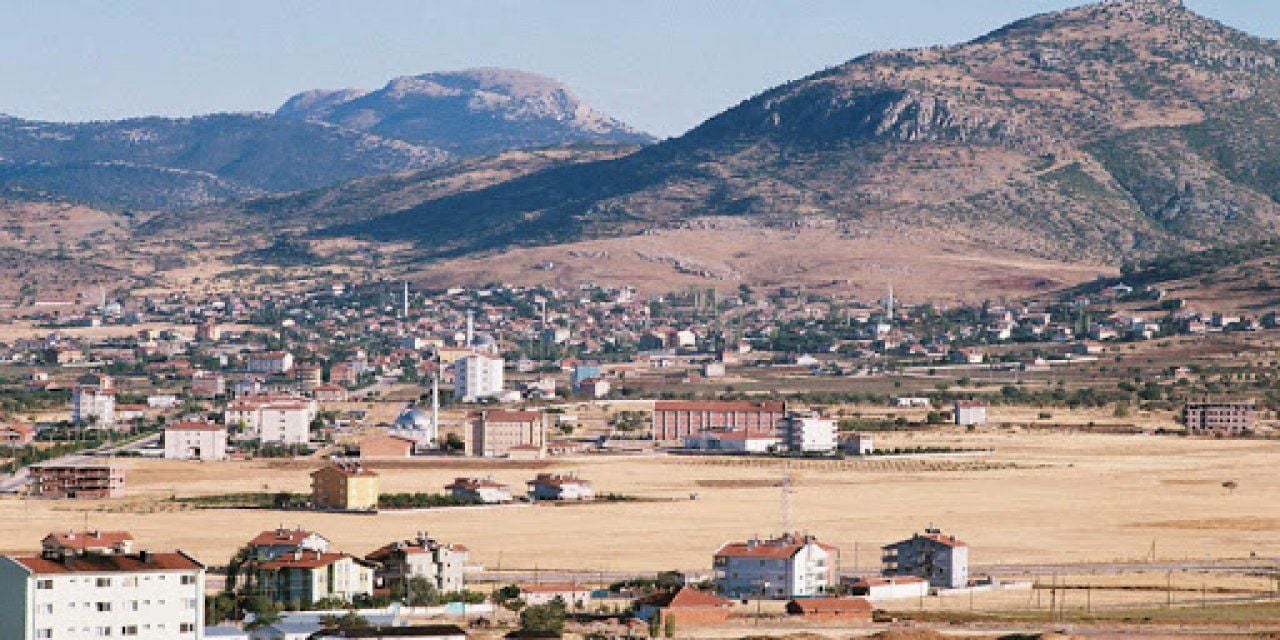
Güneybound is a district of Konya Province. The two settlements that make up the district center, located 75 km from Konya and 11 km west of the Konya-Karaman D715 highway, were the villages known as Karasinir and Elmasun during the Ottoman period. Records of both villages are found in the Accounting Book dated 1531 and the cadastral registers dated 1584. In addition, Elmasun is shown on various maps prepared by Western geographers in the 19th century, for example on the Asia Minor map of 1851 published by Tallis. While both villages were connected to Bozkır district in the republic period, they were connected to Çumra district in 1955. In 1990, with the merger of Güneybağ and Karasinir towns and Emirhan village, it gained the status of a district by taking the name "Guneysınır". The district gained its present appearance when the administrative buildings were moved to the area between Karasinir and Güneybağ neighborhoods.
The name of the district is derived by combining the words "South" in Güneybağ and "border" in Karasinir. Although the name of the district was suggested to be Karabakh as a result of combining the words "bağ" in Güneybağ and "Kara" in Karasinir, during the establishment of the district in 1990, Güneysinder was preferred because a town with the same name is located in the Cihanbeyli district.