
Keremali (Elmacık) Mountain
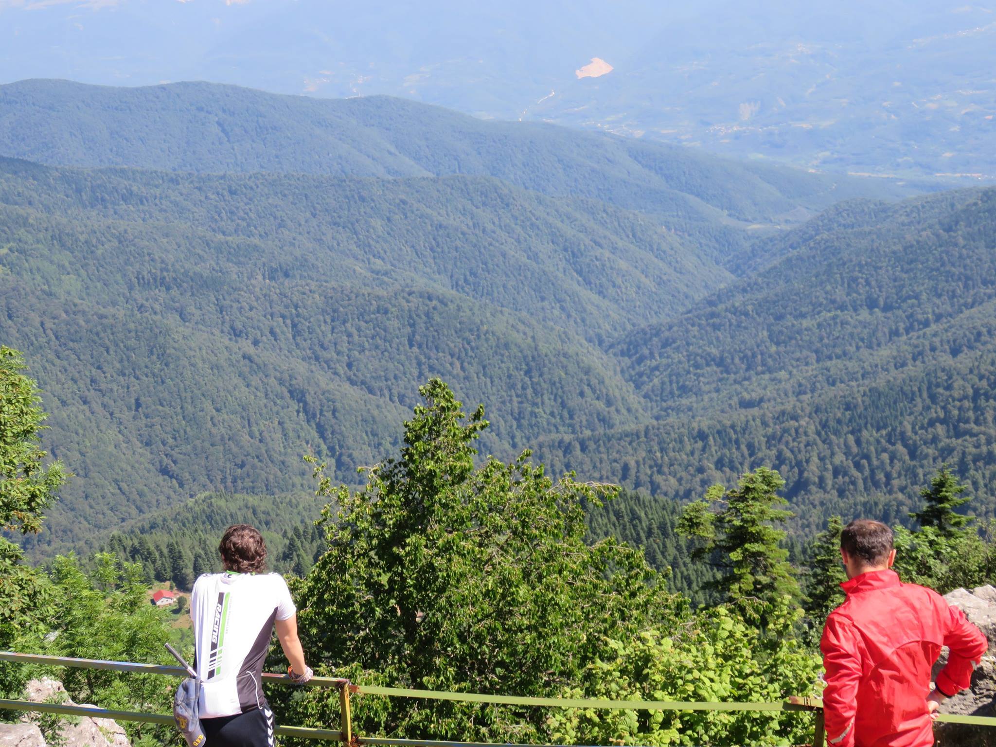
Keremali (Elmacık) Mountain is the highest mountain of Sakarya province, forming the western part of the Köroğlu Mountains. The 1543 m high mountain is located in the south of Hendek district and east of Akyazı. The mountain takes its name from the tomb located near the summit. While the general name of the mountain is Elmacık Mountain, it is used as Keremali Mountain for the remaining part in Sakarya. West of the mountain is Sakarya (Akyazı, Hendek), east of it is Düzce (Center, Kaynaşlıi Gölyaka) and Bolu (Mudurnu) province borders.
Melen Basin in the north of the mountainous mass, Mudurnu Stream basin in the south, Abant Mountains in the southeast, Bolu Mountains in the northeast and Adapazarı Plain in the northwest. Kara Creek and Küçük Creek form a natural border between Keremali Mountain and Elmacık Mountain. On the western part of the mountain is Keremali Hill, which gives its name to this part. From east to west, Erenler Hill is 1830 m, Dikmen Hill is 1760 m and Dirimdirim (Dırdırın) Hill is 1560 m.