
Transfers
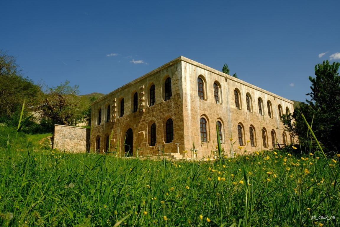
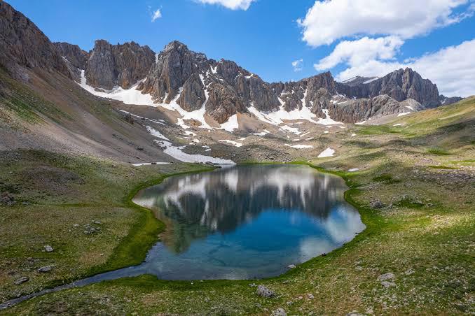
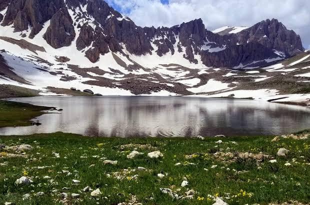
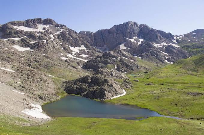
Munzur Mountains
The Munzur
Mountains are in the Upper Euphrates region, in the west of the Eastern
Anatolia Region. As a settlement, it stretches on the plateau between Tunceli
and Erzincan, with a length of 130 km, from west to east to the Avcı Mountains.
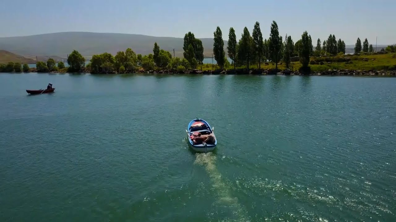
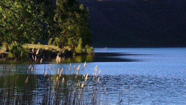
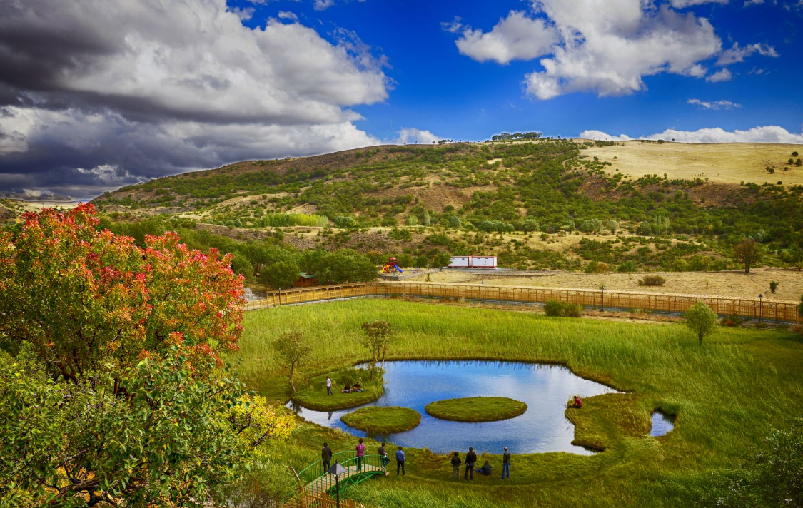
Its altitude exceeds 3,300 m. Its age is 5 million years. There are glacial lakes,
oak forests, various wild animals, countless plant and flower species, streams,
streams, plateaus, and trout lakes on it.
Its highest
point is 3463 m. and Vulture Hill. Its peaks are Biçare mountain, Ziyarettepe,
Kutlular, Gültepe, Haramitepe, Kuştepe, Gediktepe. Munzur valleys descend to
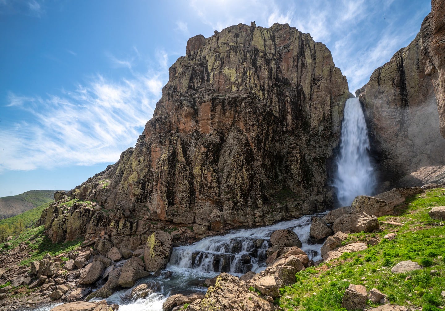
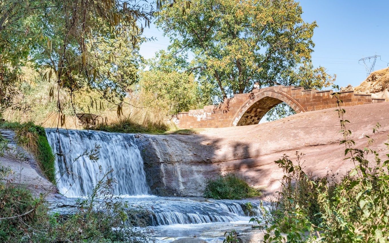
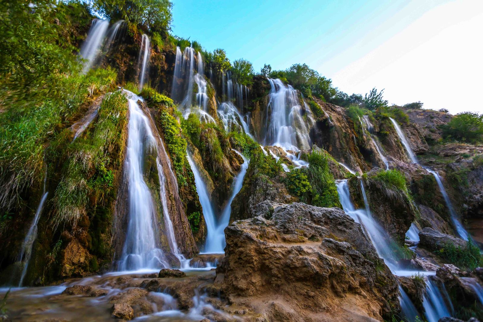
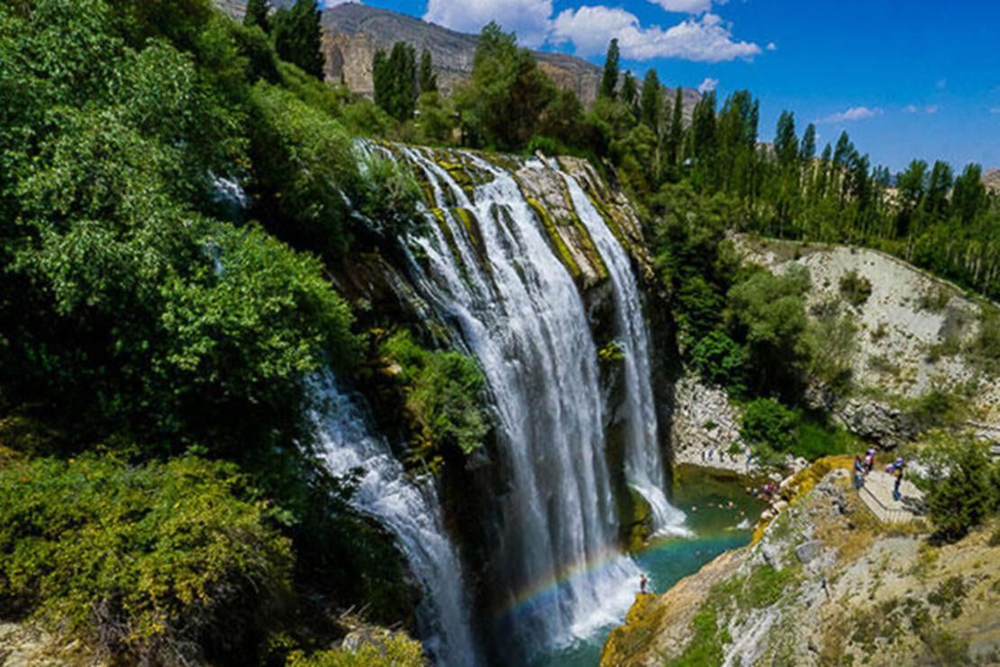
Ovacık to the south and merge with Pülümür valley. Munzur river joins with
Murad river forming waterfalls. Munzur Valley National Park is a 42,000-hectare
earth natural park established in 1971. The districts surrounding the mountains
are Çemişgezek and Ovacık in the south, Kemaliye in the west, Pülümür in the
east and Kemah in the north. Among the climbing passes, Munzur and Kemah passes
are important. Village roads surround the villages of Sabırlı, Subaşı, Yeşilyayla,
Cevizlik, Yeşilyazı, Paşadüzü, Kurutepe from the south, Kılıçkaya, Yaylabaşı,
Çubuklu, Çakırlar, Dereköy, Kapıkaya, Doğanköy and the Munzur mountain range
from the north.