Transfers
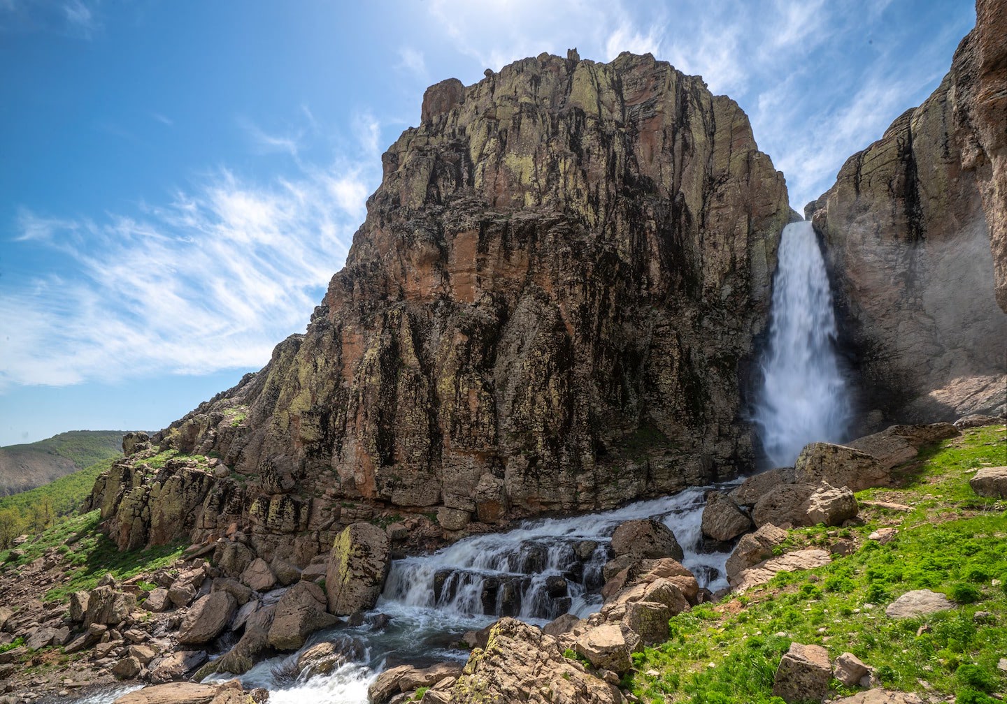
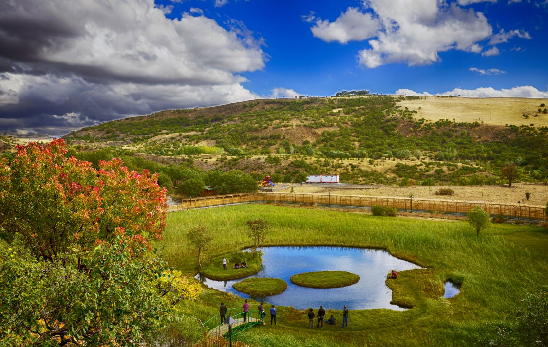
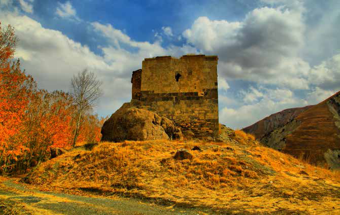
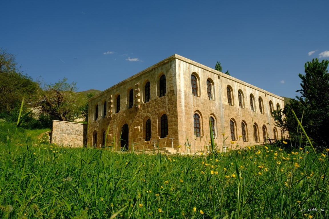
Sarıçiçek Plateau
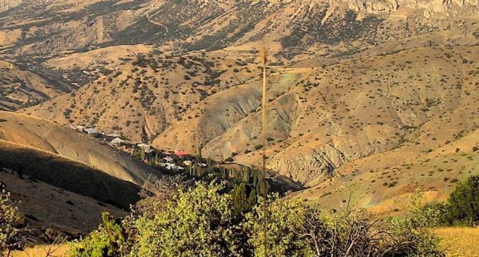
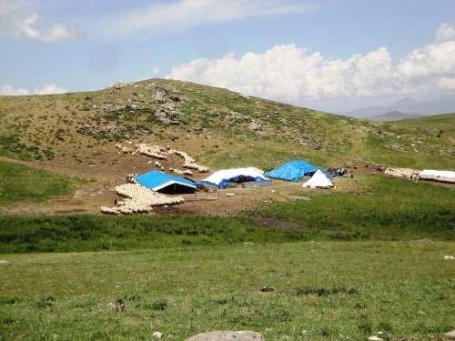
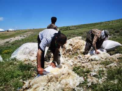
Sarıçiçek Plateau, located within the borders of Dağili township during the Ottoman period, became famous as a "source of cheese and honey". The average elevation of the plateau is between 1500 and 1700 meters. In the region surrounded by mountains, Kozluk Stream flows through deep valleys called Kayaarası. As vegetation, oak, albeit sparse, and willow, poplar, plane tree and fruit trees are located near the water. The plateau surrounded by Arapgir, Arguvan, Divriği and Kemaliye districts; It determines the borders of Malatya, Erzincan and Sivas provinces. Every summer, transhumance tribes from the surrounding provinces and districts and villages come to this plateau, which has plenty of grass and water. The tribes that come to the plateau with the spring stay here until September. The milk obtained from the herds of thousands of sheep is turned into cheese and sent to the cities for sale.