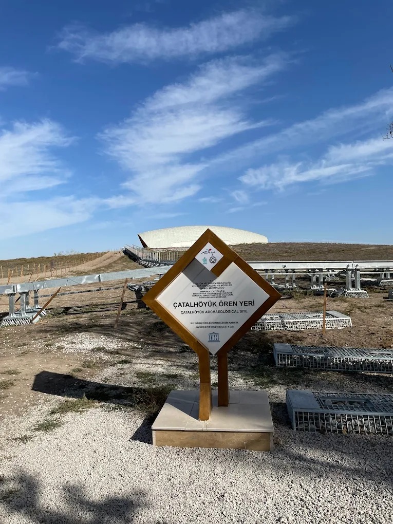

Çatalhöyük Archaeological Site
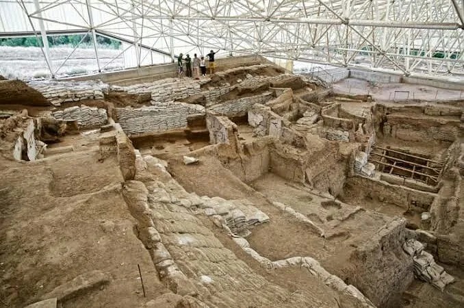
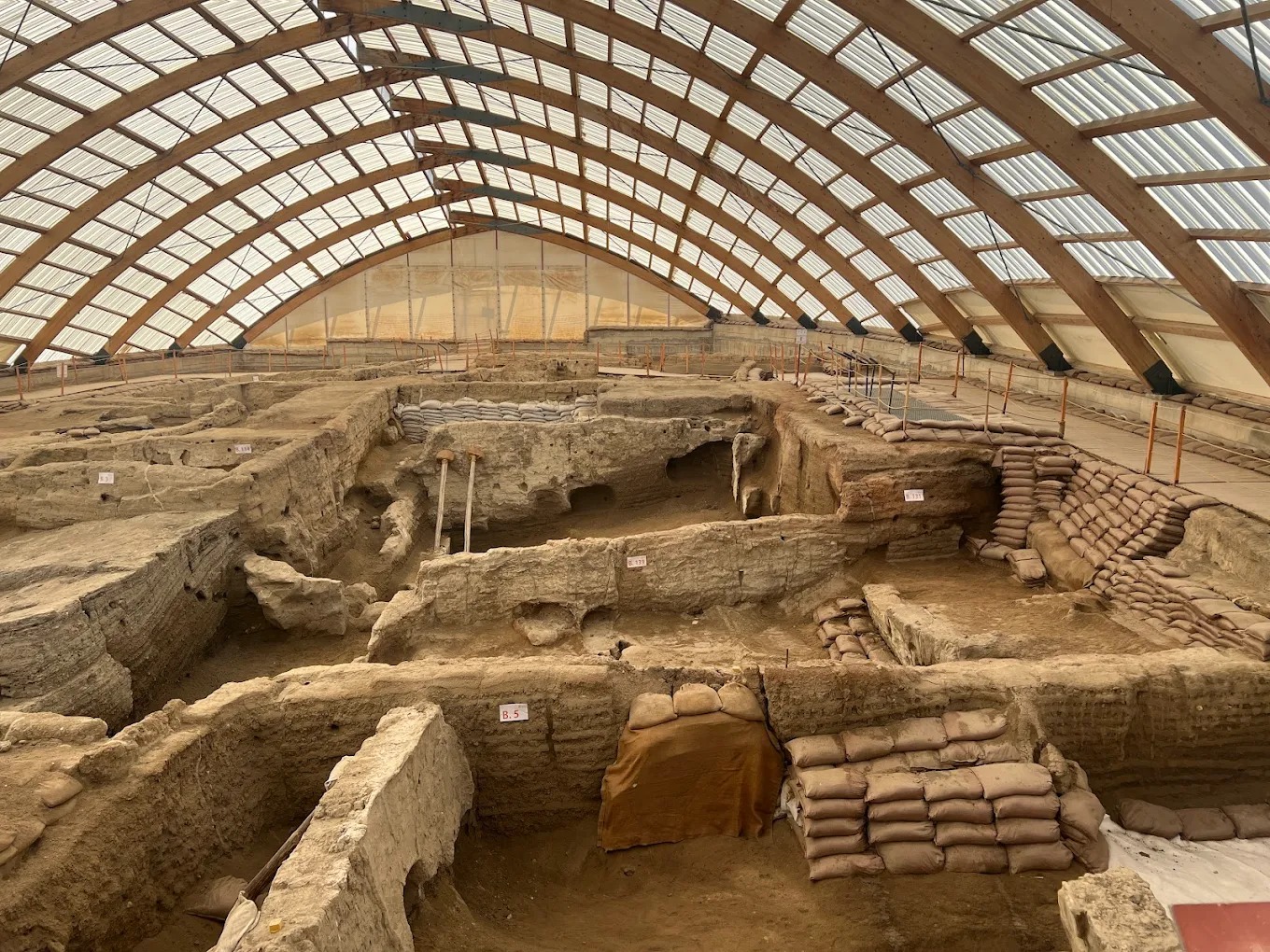
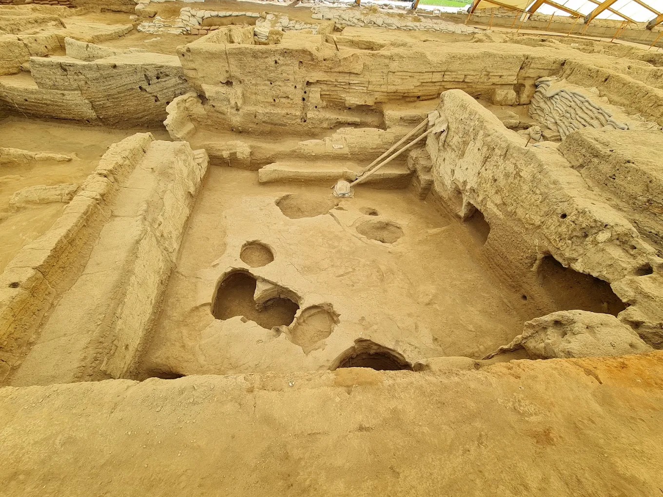
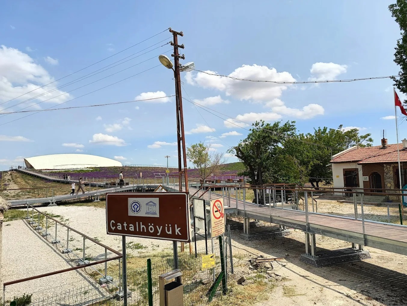
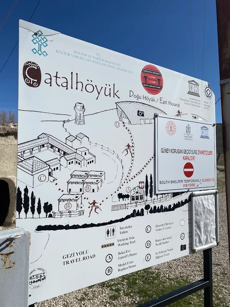
Çatalhöyük is located within the boundaries of Çumra District in Konya, 10 km east of the district. The mound is shaped like a hill with two plateaus of different heights. It is called “çatal” (forked) because of these two elevations. Çatalhöyük was discovered by J. Mellaart in 1958 and excavated in 1961-1963 and 1965. Research conducted on the western slope of the high hill revealed 13 building layers. The earliest settlement layer (1) dates back to 5500 BC. This dating, based on stylistic analysis, has been confirmed by the C 14 method. With its original finds relating to the first settlement, early house architecture, and early sacred buildings, it is a center that sheds light on human history. The best-known period of settlement, or urbanism, at Çatalhöyük is found in the 7th and 11th layers. The walls of the rectangular houses are adjacent to each other. There are no shared walls; each house has its own independent walls. The houses were planned separately, and another house was built next to it when needed. Due to the adjacent walls of the houses, there are no streets in the city. Transportation is via flat roofs. No findings have been made that indicate the existence of walls surrounding and protecting the city. The materials used in the construction of the buildings are adobe, wood, and reeds. The foundations of the houses are shallow. There are wooden posts between the walls. The beams resting on these posts support the flat ceiling. The roof covering is clay soil compressed onto reeds.