
Komana Ancient City
In the inner parts of the Black Sea Region, there were two temple states operating in the Hellenistic Period within the borders of today's Tokat. The larger of these is a Cappadocian -type temptation made to Komana, Mother Goddess Ma. Pontus kingdom collapsed and VI. After Mitradates escaped, the Komana temple state became a principality and by Pompey BC. It was transferred to Archelaus in the middle of the 1st century. Archelaus BC. After his dismissal by Caesar in 47, his son was followed. He took over the principality of Lykomedes Archelaus of Cappadocia origin, and Medeius, Cleon, Dyteutus, who was appointed by Augustus, served in Komana in Komana. Until this time, the priests have lost their strength significantly, but continued to function the temple. During the reign of Maurice Tiberius, the city joined the imperial area. Between the period of the Pontus kings and the period covering the emperor Maurice, the region was the status of Ager Publicus for a while.
Under the rule of Pontus kings and during the Roman Empire periods, the territory of Komana expanded. The Roman Pompey added 2 Schoeni or 60 Stades to its territory when the city was a principality. Thus, the diameter of the city area has reached about 4 kilometers. Caesar or Antony, one of the Roman emperors, gave the land of 4 Schoeni to the priests of Komana. These new lands should probably have been added to the east, southern and west sides of the city. These areas are known as zelitis and megalopolitis. It can be assumed that the north side is limited to Magnopolis and Neocaesareia. It is known that the area of the city expanded further during the Augustus period and reached the size of the Civitates in the region. Komana M.S. When it was added to the Pontus Galaticus region in 34-35, the city of Magnopolitis was probably included in Komana Pontica. Until the Titus period, the city was called both Hierocaesareia and Komana. The collapse of the temple accelerated the spread of Christianity. The surrounding soils were included in Daximon, a much smaller but central settlement. The official emperor of MA, the main goddess of the temple state, has been on coins since the reign of the Emperor Caligula. The only data of the architectural appearance of the temple are Caracalla, Septimius Severus and then Trajan coins. These coins are depicted with a tetrasty temple.
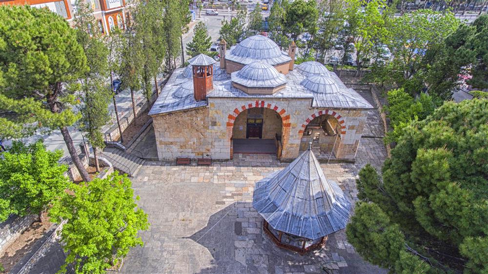
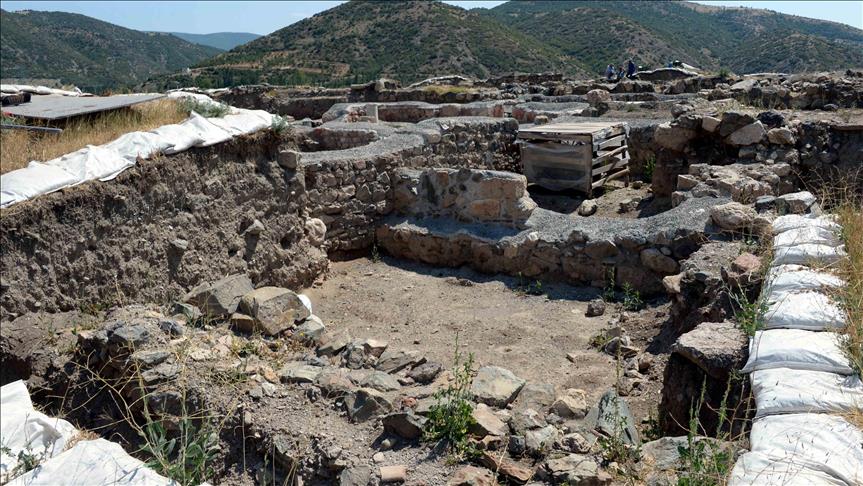
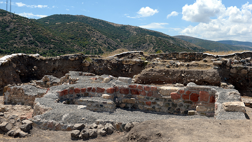
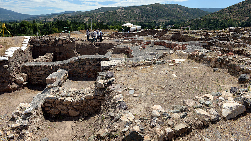
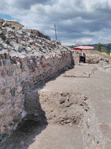
It is thought that 8 gray columns used in the construction of the Ali Paşa Mosque in Tokat city center may belong to the temple. In addition, it is likely that the column and column headings used in the Ulu Mosque and Garip Mosque in Tokat city center were brought from the ancient city of Komana. Komana is located on a hill in Gümenek Mevkii, 9 km northeast of Tokat. It is estimated that the city is located on this wide hill dominating the fertile plain in the region. It is thought that the walls of these small and shapeless stones may have created the inner fill of the foundation of the temenos wall of the temple. The temple was thought to be connected to the other side of Yeşilırmak with a lost bridge and the bridge was found during the 2004 research in the water regulator. The fertile soils around the hill played an important role in the economic structure of the temple state.