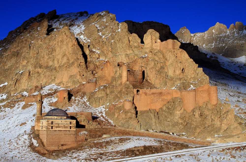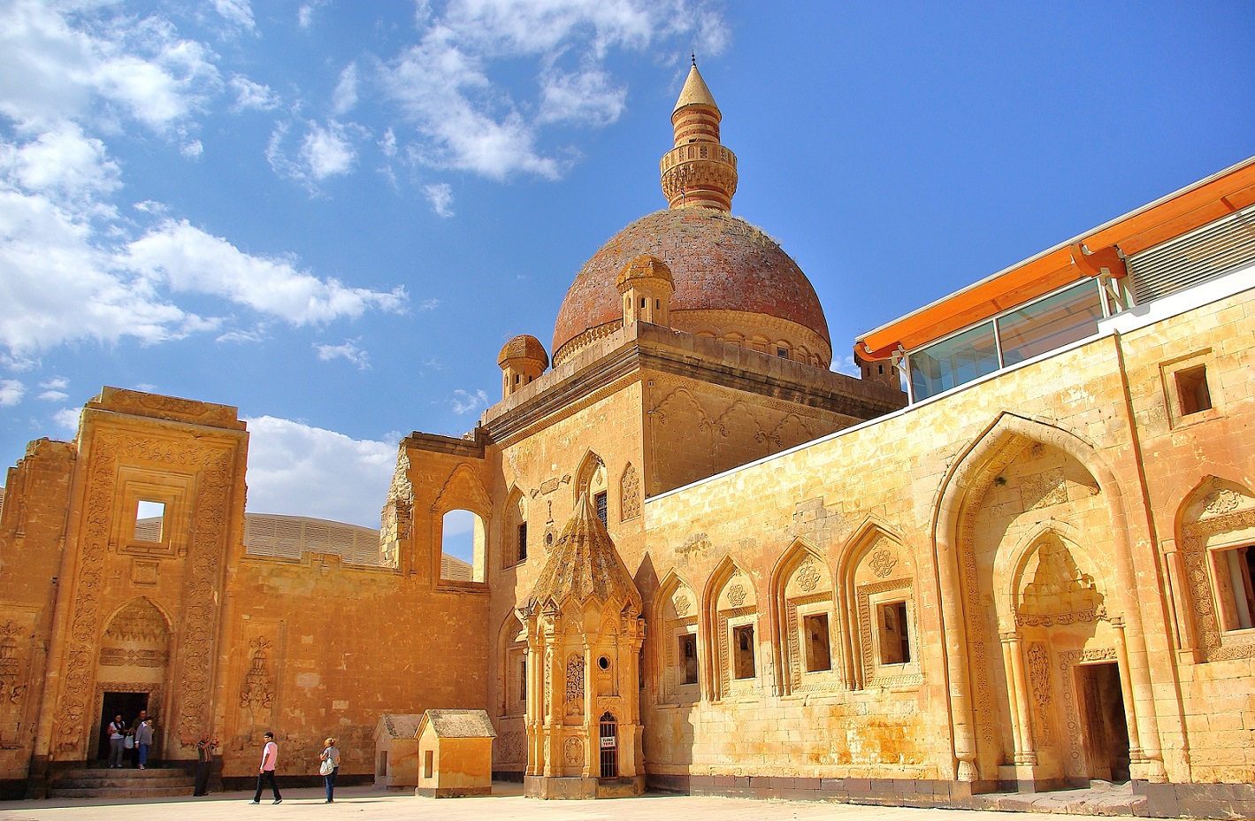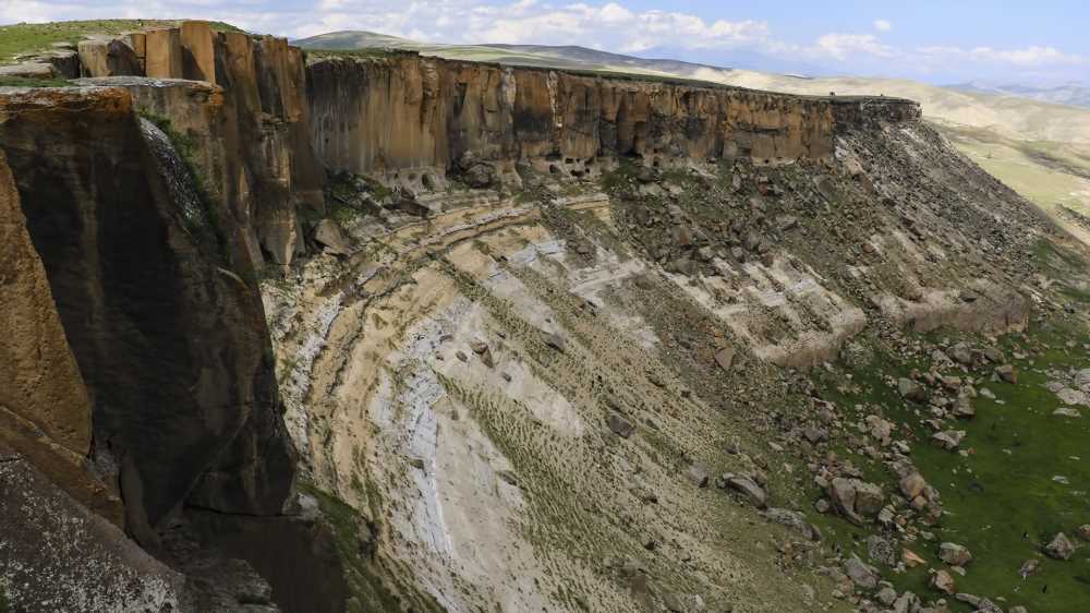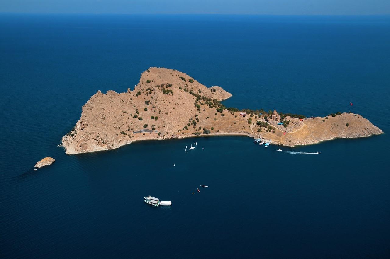
Transfers
Tepeköy Mound
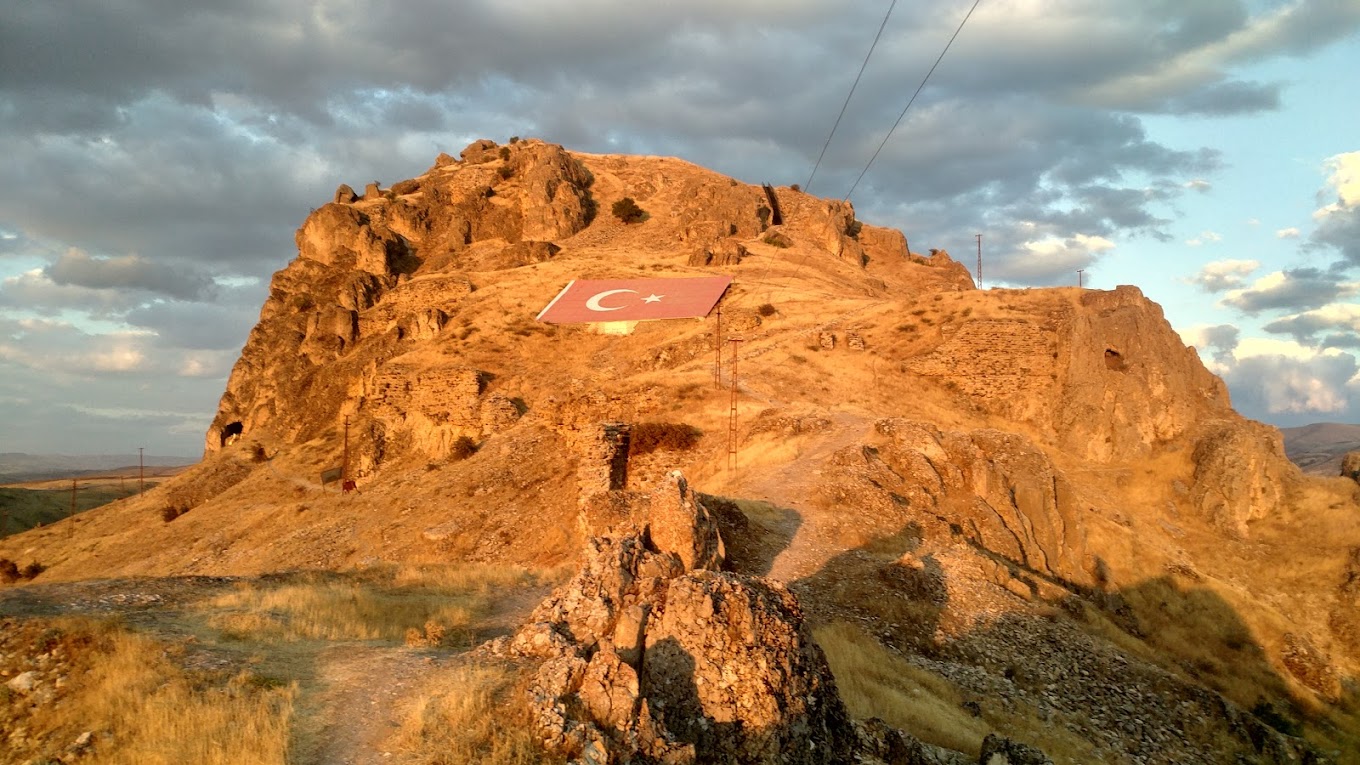
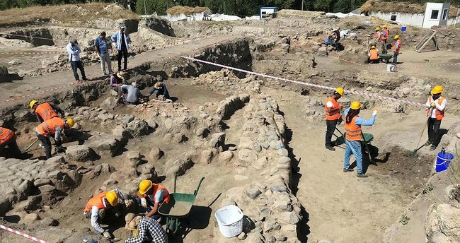
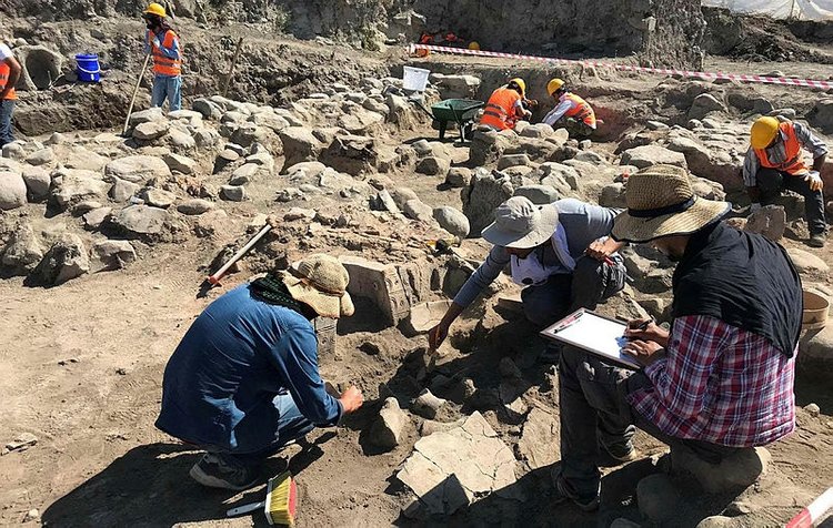
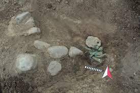
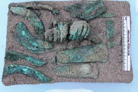
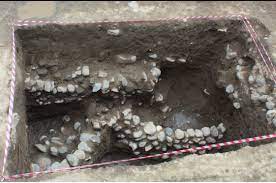
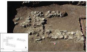
Tepeköy Höyük is 45 km north of the city center of Muş; It is located 22 km south of Varto district. The Kaynarca Stream (Bingöl Stream) passes to the east of Tepeköy, which is the first layered mound excavated in the Upper Murat basin, and the old Muş-Erzurum highway passes to the west. It is understood that Kayalıdere Castle, which is one of the important castles of the Urartian Kingdom on the route opening to the west, was in an important location in the Middle Iron Age with its location only 5 km northwest of it. As a result of the salvage excavations carried out in the Ahlat Museum Directorate in 2017-2018, in the mound; Bronze Age, Iron Age and Medieval layers were reached. Architectural traces of Iron Age layers in the mound are weak; however, metal finds and especially pottery provide important contributions to the Middle Iron Age/Urartian period. In this article, the pottery finds of the Middle Iron Age layer were evaluated. Forms consisting of pots, pots, plates, jugs, glasses, oil lamps and miniature vessels show the characteristics of Coffee-Tile Ware to a large extent. However, Brown Slip, Tile Slip, Cream Slip and Grey-Black Wares are also seen. Ceramics exhibit similar features with Urartian settlements in terms of form and ware features. However, the local characteristics of the Muş Basin are also seen.