Transfers
Dicle Lake
The Tigris river, together with the Euphrates, is the easternmost of the two major rivers that make up Mesopotamia. The river, originating from Sivrice district of Elazig province in Turkey, flows through Iraq and joins with the Euphrates and empties into the Persian Gulf in Shattularap.
The river takes its main sources from the mountains of the Eastern Anatolia Region and from the Hazar (Gölcük) lake in Elazığ by infiltration from the bottom. It is one of the important rivers of Turkey. Its total length is 1900 km. The length of the remaining part of the Turkish territory is 523 km. Its most important tributaries are Batman and Yanarsu, Botan, Habur, Büyük Zap and Little Zap. Its flow rate is 360 m³/sec. It varies the smallest with 55 m³/sec in mid-September and the largest with 2263 m³/sec flow at the end of February. The water in the stream generally decreases due to the late summer drought and the lack of precipitation in the early autumn. Despite this, it swells with the water formed by the melting of snow at the end of winter and the beginning of spring.
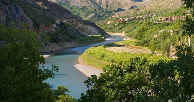
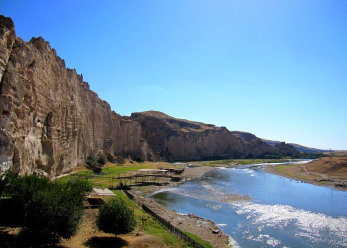
The Tigris originates from a spring near Yıldızhan, on the south side of Hazarbaba Mountain, in the Maden Mountains in the Southeast Taurus Mountains. It used to be fed from Hazar Lake. It is now disconnected from the lake. After coming out of the spring, it passes in front of the Maden district, takes the name Maden Stream and flows parallel to the eastern part of the lava shelf where Diyarbakır city is located, passing through narrow and deep valleys towards the southeast. Here, the bottom of the river valley descends to 600 m. It turns east at a distance of 8 km south of Diyarbakır. After that, Anbarçayı, Kuruçay, Pamukçayı and Hazroçayı, the main ones originating in the Diyarbakır basin, descending from the slopes of the Taurus Mountains from the north, merge with Batman and Yanarsu. The flood plains Göksu and Savur Stream, descending from the south and the Mardin threshold, join the Tigris. Passing through narrow gorges on the southern skirts of Raman Mountain, it merges with the Botan Suyu and turns south in its direction.
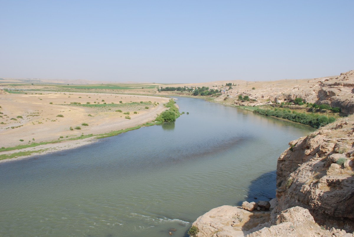
As the Tigris River flows southward, it forms the border between Turkey and Syria, 40 km long from the inside of the Cizre district to the Habur Suyu junction. After merging with Habur Suyu, it enters Iraqi territory. The Tigris crosses the narrow straits by flowing from the depression pit in the Iraqi soil and joins with the Great and Little Zap waters in Mosul. It descends to the Mesopotamian plain, after which it approaches 35 km to the Euphrates near Baghdad. Here it merges with the Piyale River, which comes from Iran. After this merger, it approaches the Euphrates again and merges with the Euphrates 64 km above Basra, near Kurna, and takes the name Shatt al-Arab. It empties into the Persian Gulf.
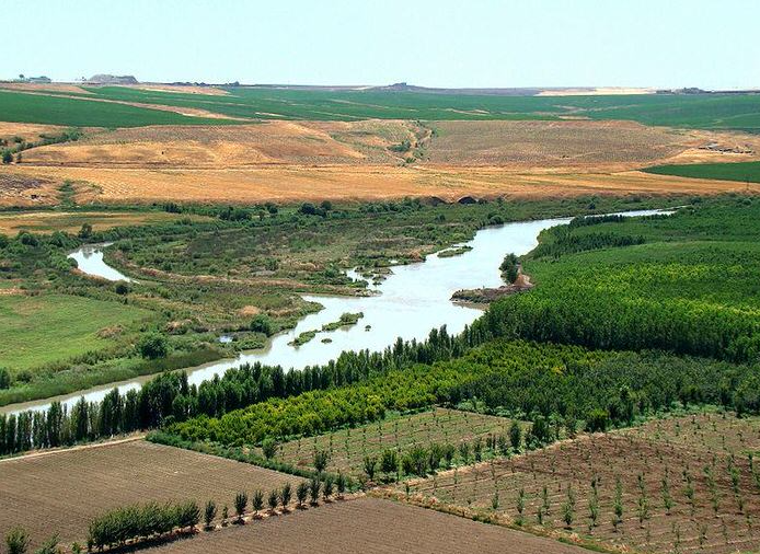
The waters of the Tigris River decrease towards the end of the summer season. In April, as the snow melts in the mountains upstream of the river, its waters increase and reach its highest level. In three months from March to May, the Tigris drains almost half of the water it drains throughout the year. His regime is not regular. In this respect, some years may overflow and cause many damages. For this reason, in order to prevent their damage, the shores of the Tigris that remained in Mesopotamia were more than BC. Sets were made in 3000 years. These levees not only prevented the flooding, but also ensured the irrigation of the cultivated lands in summer. However, despite the sets, large overflows could not be prevented. In the twentieth century, the work started only in 1939 and the Kut Dam was built. The Samarra Dam in 1958 and the Dokham Dam in 1961 were built to prevent flooding. Today, one million hectares of land between Samarra and Amarra has been made arable.
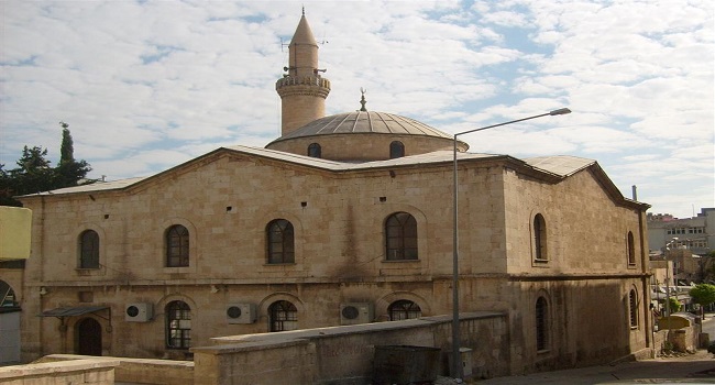
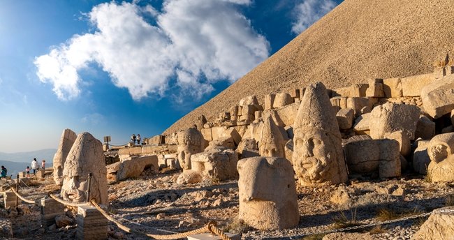
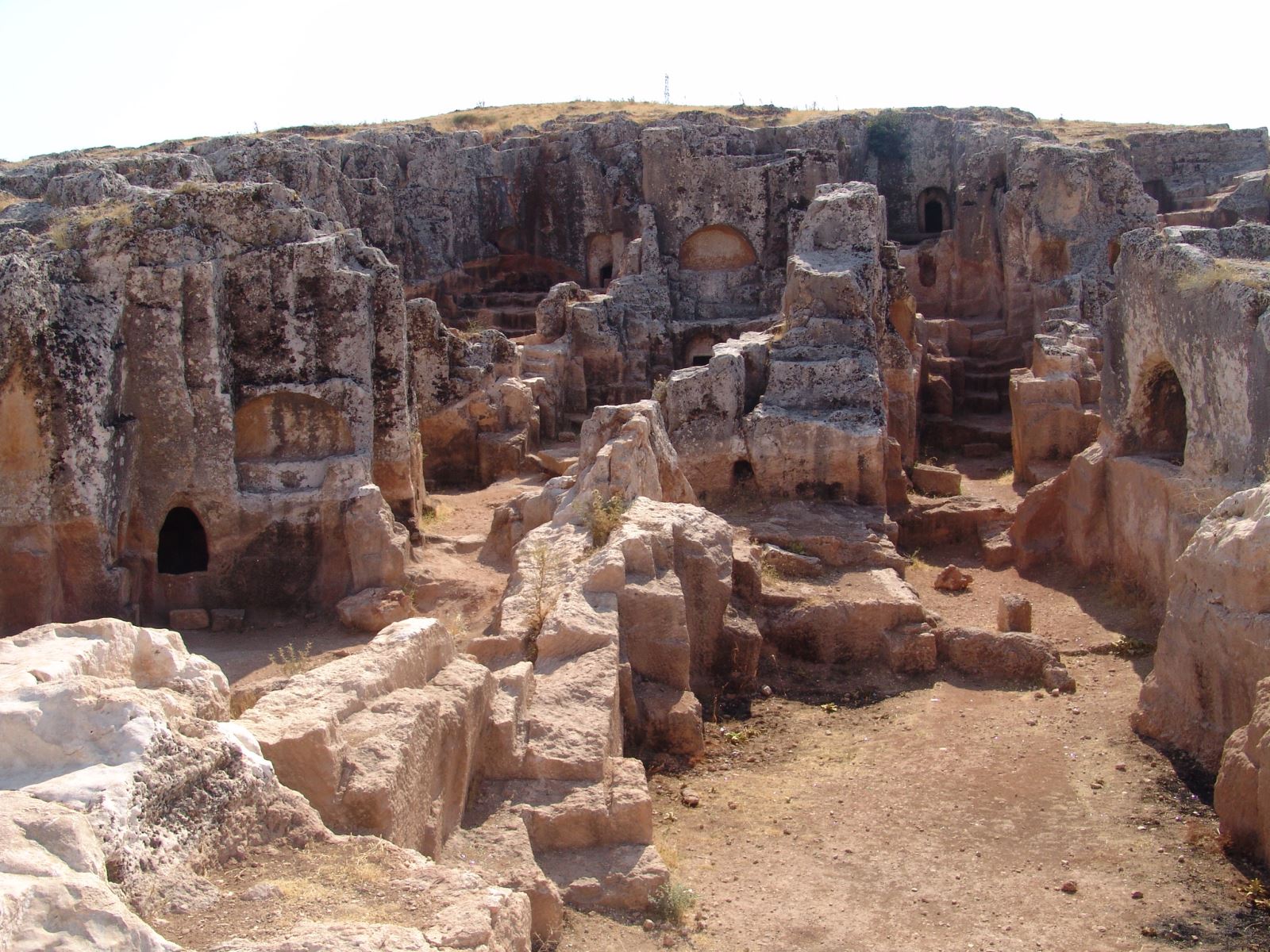
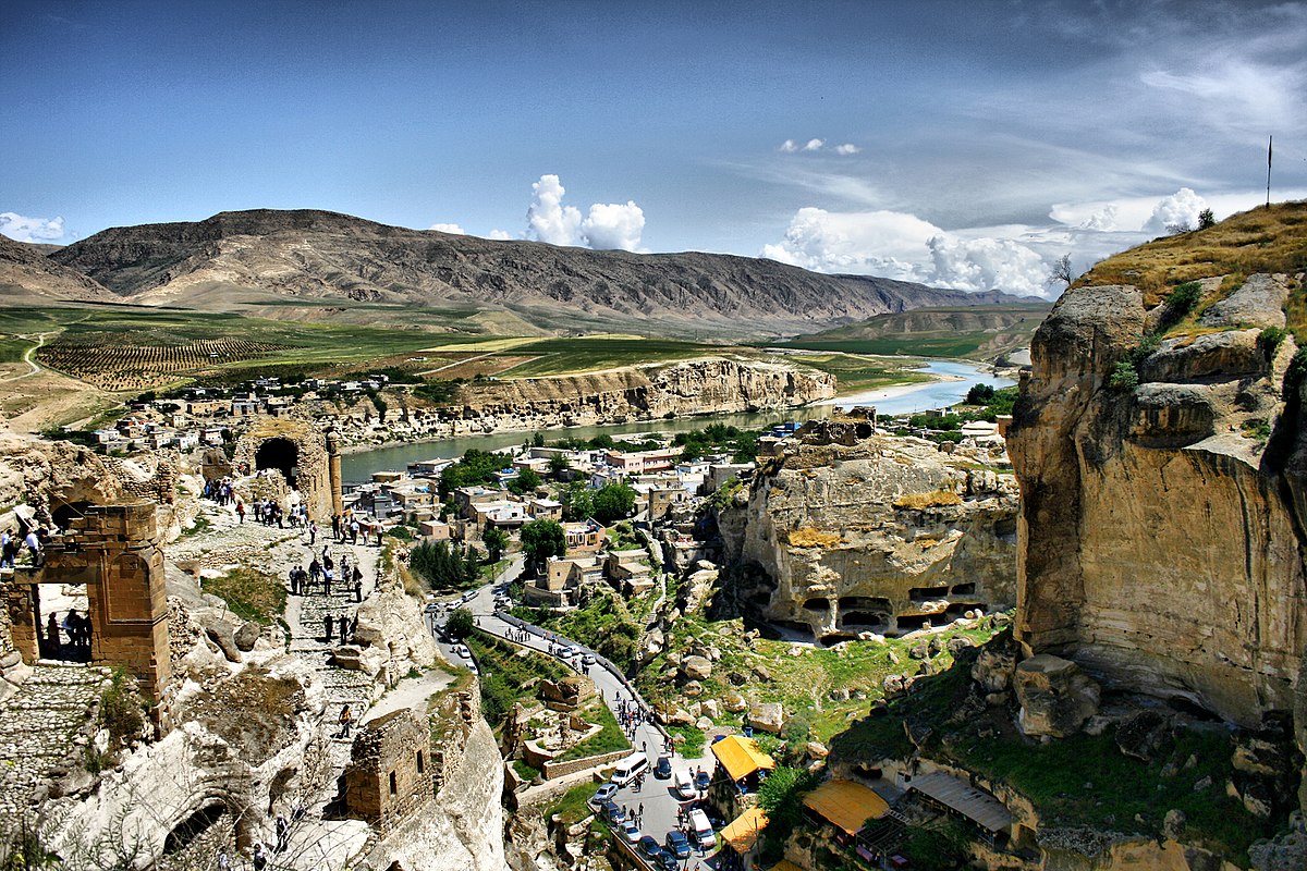
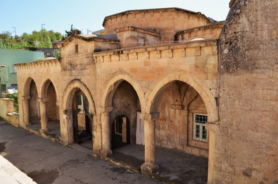
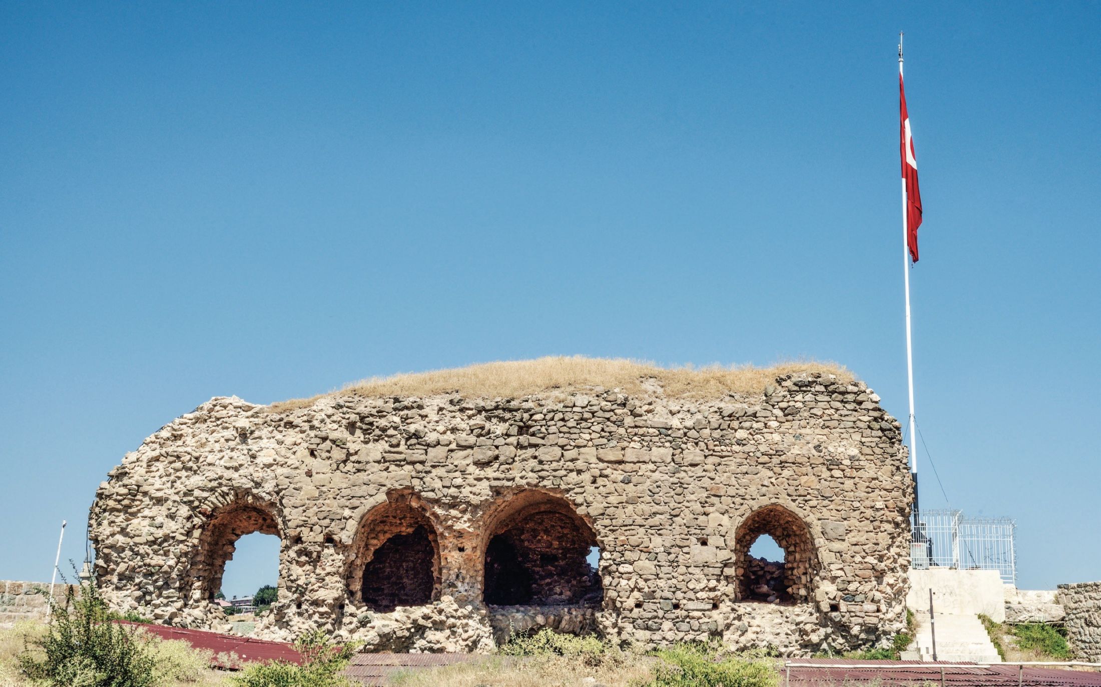
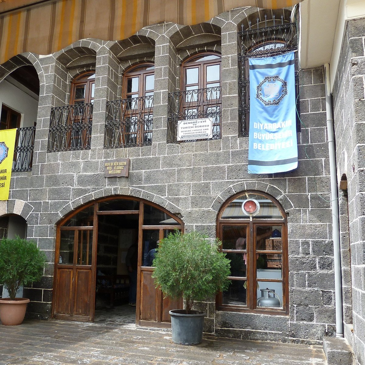
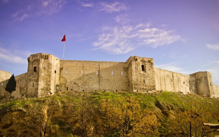
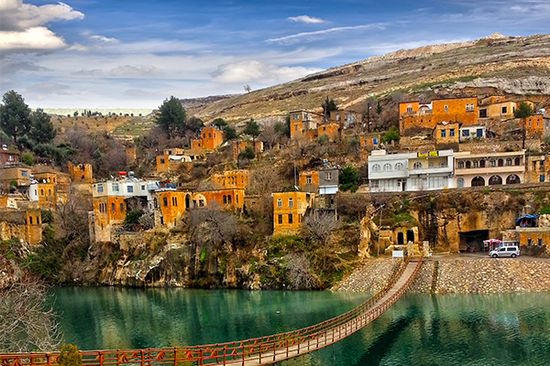
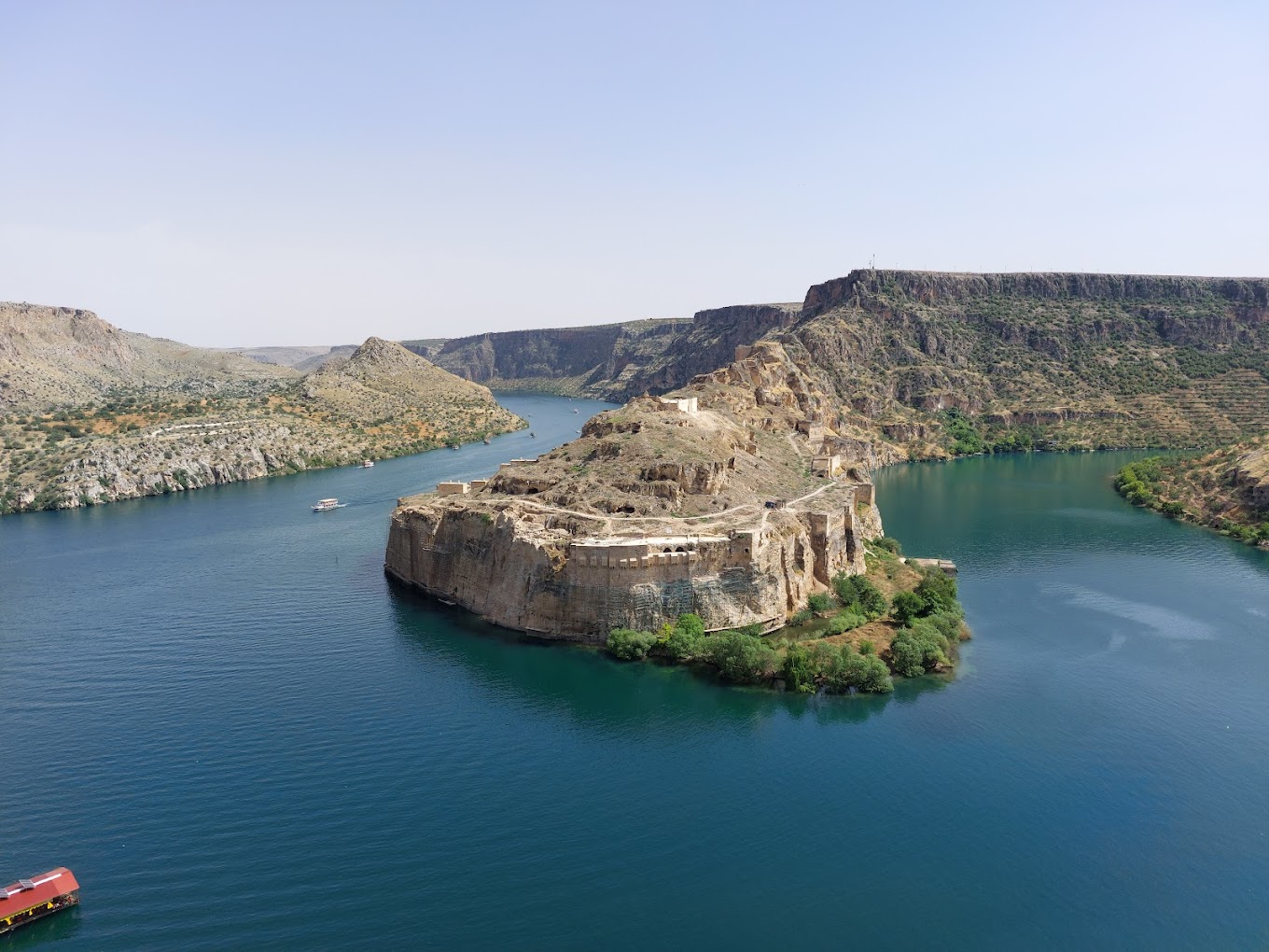
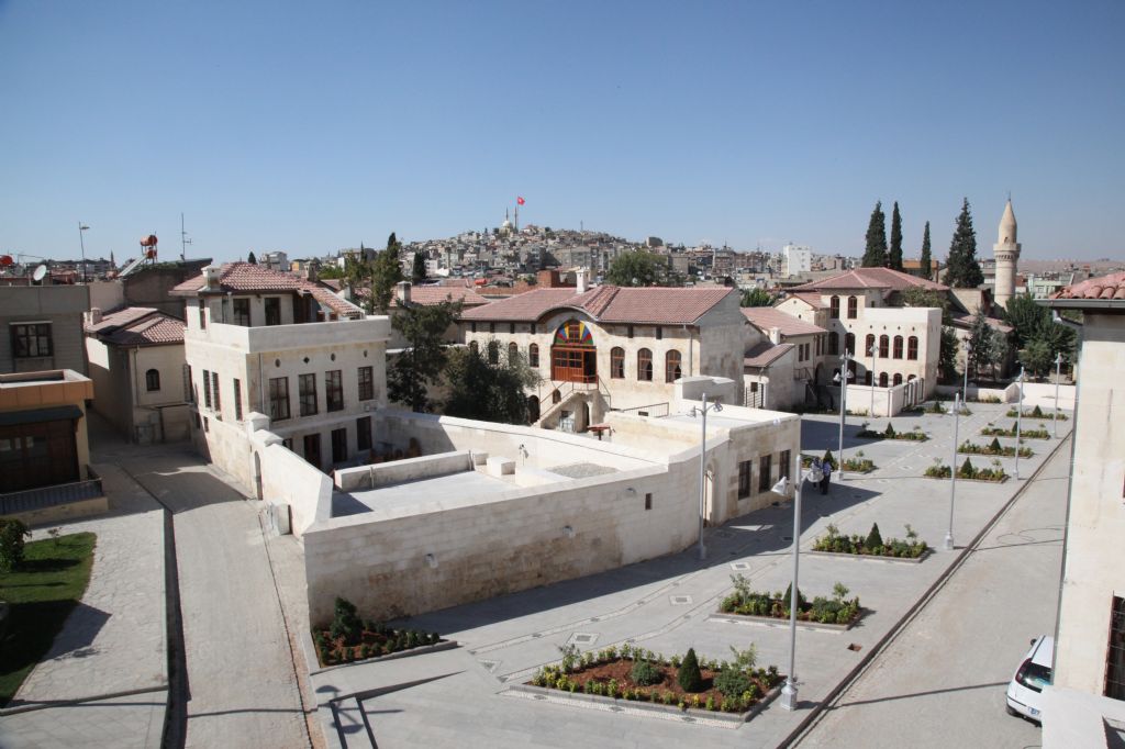
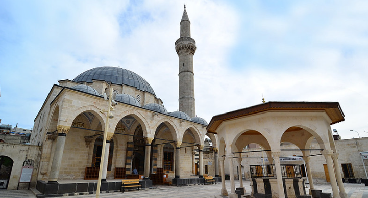
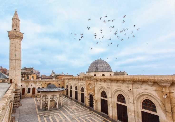
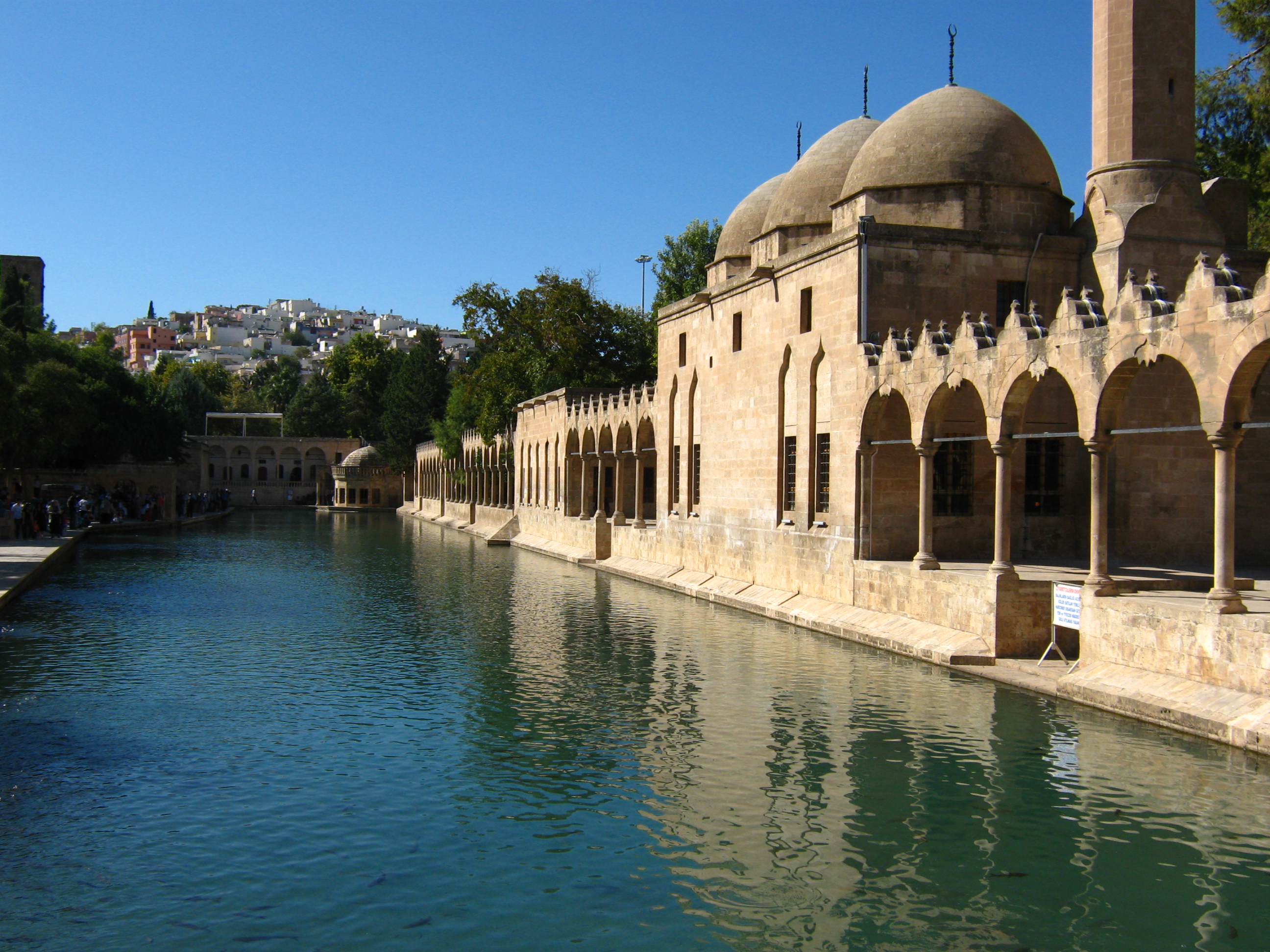
The Tigris is one of the rivers forming the ancient Mesopotamian border. Although its length is shorter than the Euphrates, it has more water. The Tigris still provides irrigation with irrigation channels, and medium-sized vehicles contribute to transportation by going from the mouth of the river to Baghdad, and smaller vehicles to Mosul. It is understood from the historical ruins that these rivers were used a lot in terms of transportation. The old ruins of the cities of Amed (Diyarbakır), Hasankeyf, Ninova, Nemrut and Assyria, which were established on the banks of the Tigris, are the strongest evidence of this.
Important hydroelectric power plants such as Kralkızı, Batman and Dicle were established on the Tigris river. The foundation of Ilısu Dam was laid by Prime Minister Erdoğan on 05.08.2006, and with the completion of Ilısu, which is Turkey's second largest dam in terms of reservoir and 4th largest in terms of energy production, the construction of the Cizre Dam on the Tigris river will begin.