Day Tours


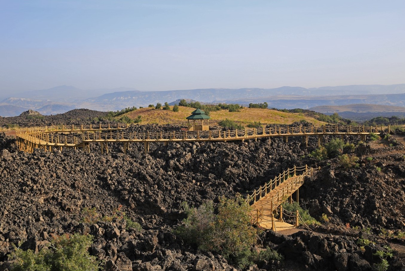
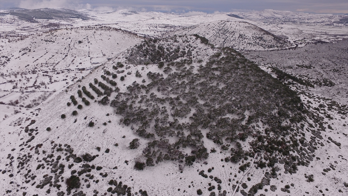
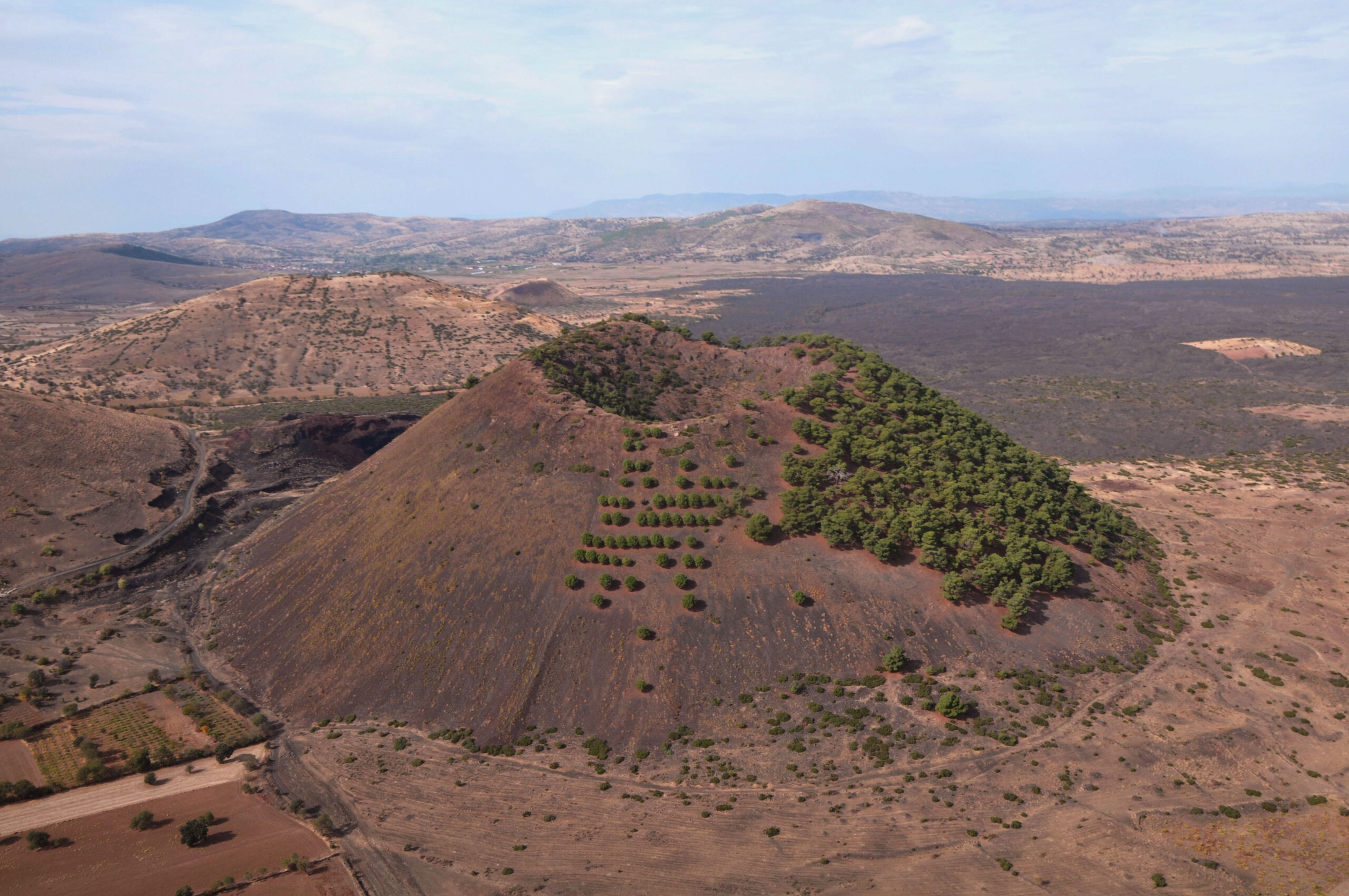
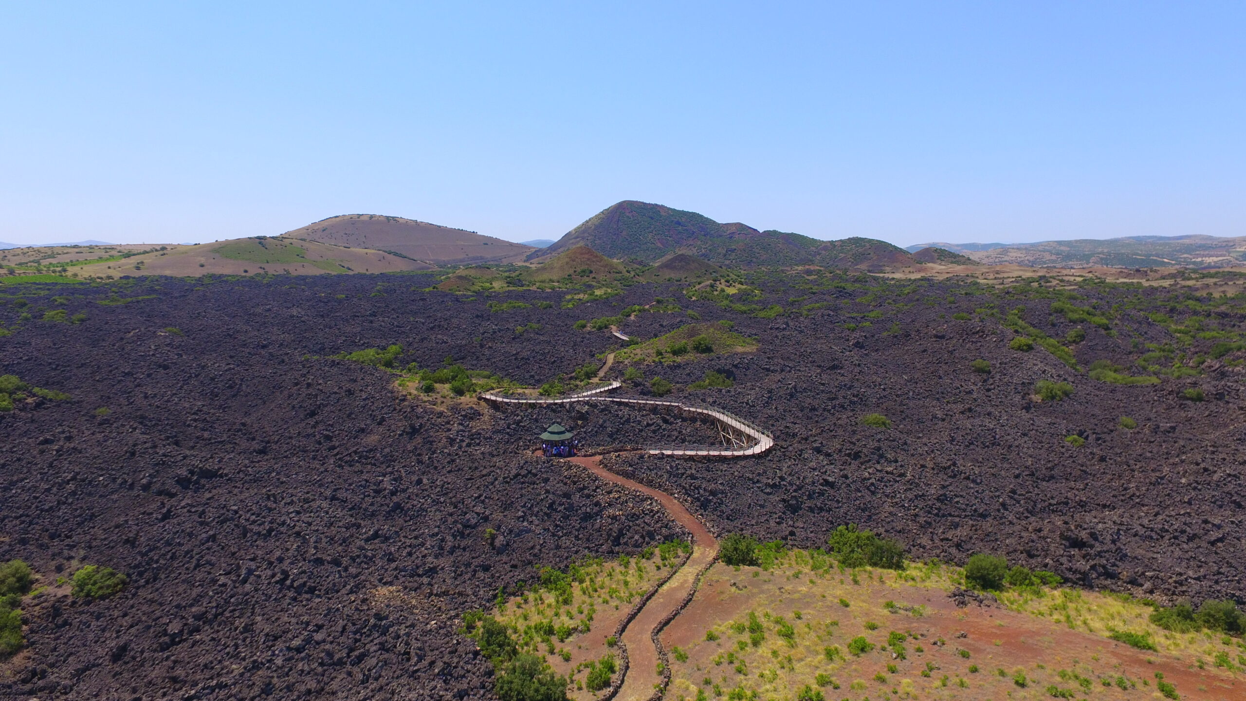
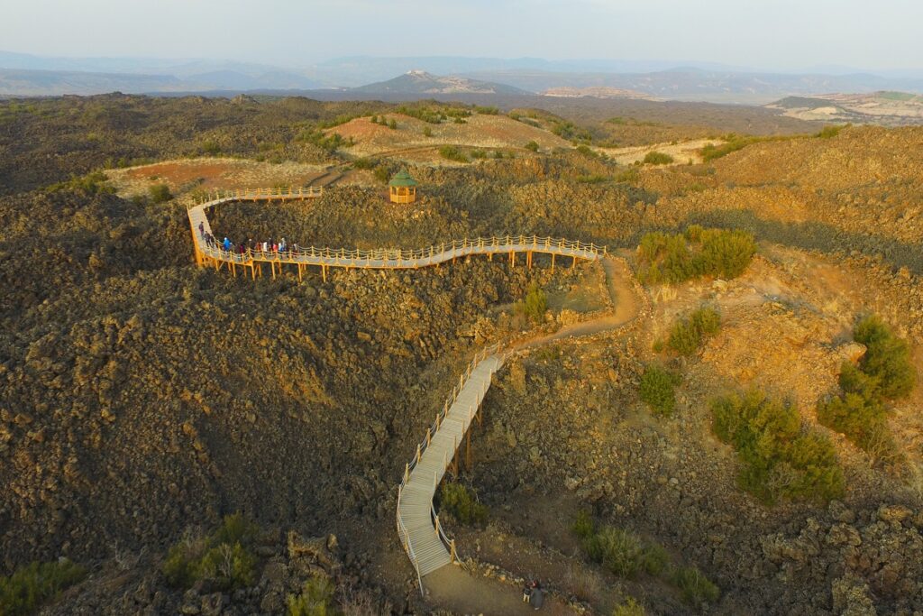
Kula - Salihli Geopark is a geopark located on the western Anatolian-Aegean threshold, within the borders of Manisa province. The Kula-Salihli Geopark area, which covers an area of approximately 300 km², includes the district of Salihli, Sandal District, Gökçeören District, Adala District and Gökeyüp Towns, although the majority is in the district of Kula.
Accommodation
Transport
Comfort
Food