

Transfers
Narlıkuyu
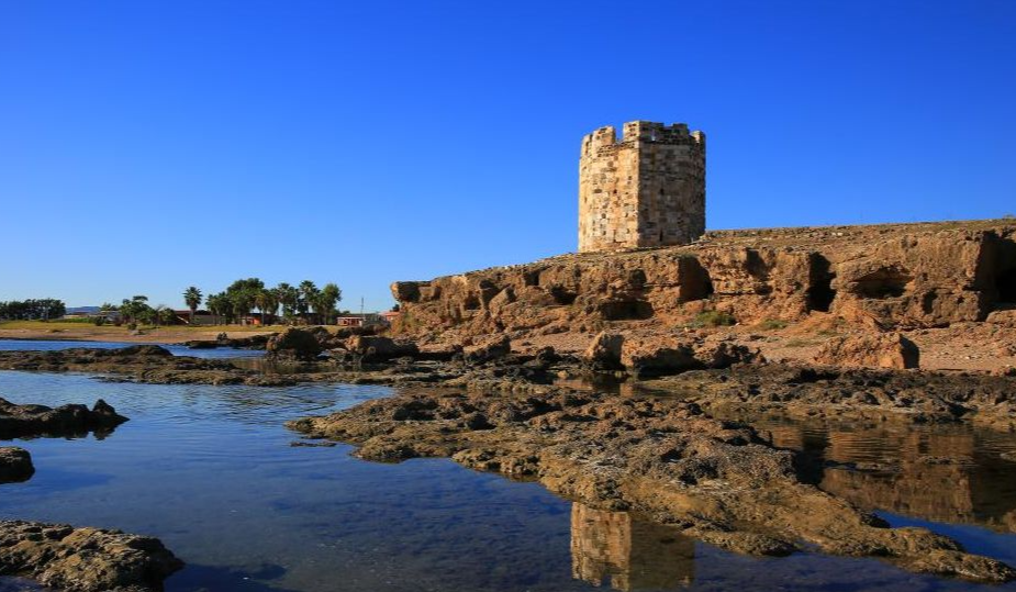
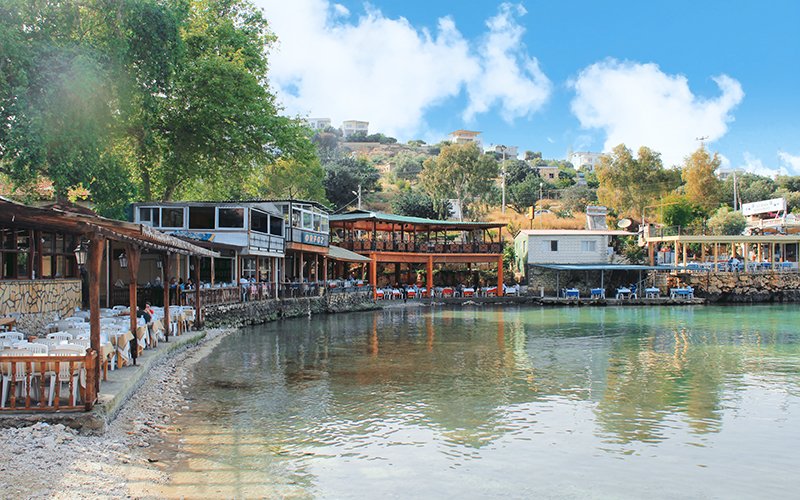
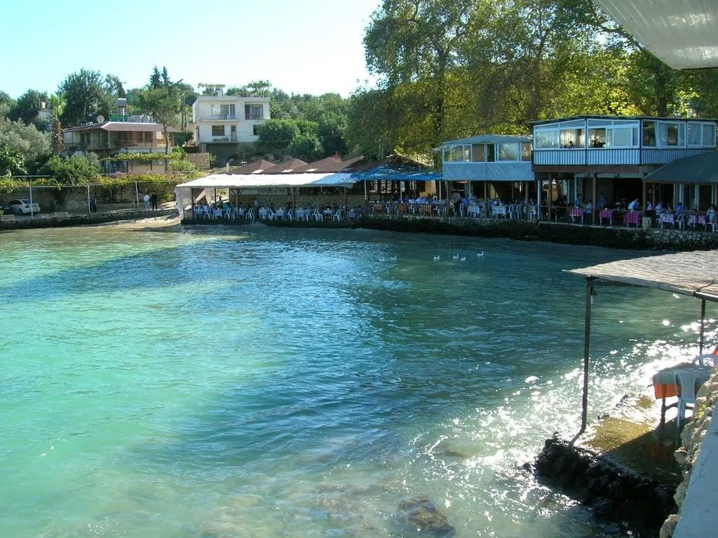
Narlıkuyu is a touristic bay in Mersin province and a municipality established around this bay in the 1990s. Its medieval name is Porto Calamie. Narlıkuyu is located 65 km southwest of Mersin at approximately 37°27′N 34°08′E coordinates. It is on the state highway connecting Mersin to Antalya and is 27.5 km from Erdemli and 20 km from Silifke. Thanks to its ease of transportation, it is one of the favorite resting places of Mersin and its districts. Narlıkuyu is a small bay. There are hundreds of coves on the coast of Mersin province. But Narlıkuyu is different from other bays with its cold and fresh water. (Pets can drink water from the bay.) The reason for the coldness of the water (15-16 degrees) is the water sources under the sea. One of these sources is the bird flight of Narlıkuyu, 1.2 km. It is the groundwater coming from the Cennet pothole located in the north-west. Today, Narlıkuyu and Cennet and Hell sinkholes are connected to each other by a 2 km asphalt road. Since the water of the bay is very cold, it is rare to swim in the bay. On the other hand, the bay is among the popular haunts of fishing and pleasure boats. Various fishermen's restaurants have been opened around the bay. However, there is no high rise on the beach. In Narlıkuyu, known as Porto Calamie during the Roman Empire, IV. There is a small building ruin from the century. This building is a bath and baptistery built by Poimenios of Korykos (Maiden's Castle), who is understood to be the governor of the Istanbul islands in the 4th century.